print("Hello, World.")

I'm Jeffrey Kennedy.

Geospatial Technologies Programming

More About Me
About

Let me introduce myself.

Profile Picture

I'm Jeffrey Kennedy. I'm a Geographic information systems analyst and programmer focused on discovering creative solutions and new ways of utilizing data. I have a strong background in data managament, analysis, and design.

Profile

When people ask me what I do, I tell them, "I make maps." It's a short hand - maps are cool, people understand that. Truth is though, that's not exactly what I do. What I do is play in that narrow, but critical, intersection between information and visualization.

I like data. I like data because no matter how mundane there's always a story behind it. Whether that be a problem to fix, money to save, a chance to look into the past, or a way to build a better future. However, if that story is not properly told, it will fall flat or risk being ignored. No matter how important the story, bad visualization only shows sanitized numbers. A well-made map though, that can inspire us, remind us of why we do what we do, and it can give us a glimpse of that elusive human element hidden in those too-often-sanitized numbers.

To best understand data, I've learned how to approach it from multiple sides; programming to process, geospatial technologies to analyze and organize, and design to visualize. I am constantly looking for better ways to do all of these. So yes, I make maps, but also, I hope to tell stories.

Skills

Here's a few of my profeciencies. I'm always trying out new technologies and methods of working with data so probably by the time you read this I've started playing around with something new.
    PROCESSING
  • Python
    Excel
    GDAL
    ArcPy

    ORGANIZATION
  • ArcCatalog
    Egnyte
    Excellent data management

    ANALYSIS
  • ArcMap
    ArcGIS Pro
    Envi
    Google Earth
    QGIS

    VISUALIZATION
  • CSS, HTML
    Illustrator
    Javascript
    Photoshop/GIMP

Portfolio

Check Out My Work.

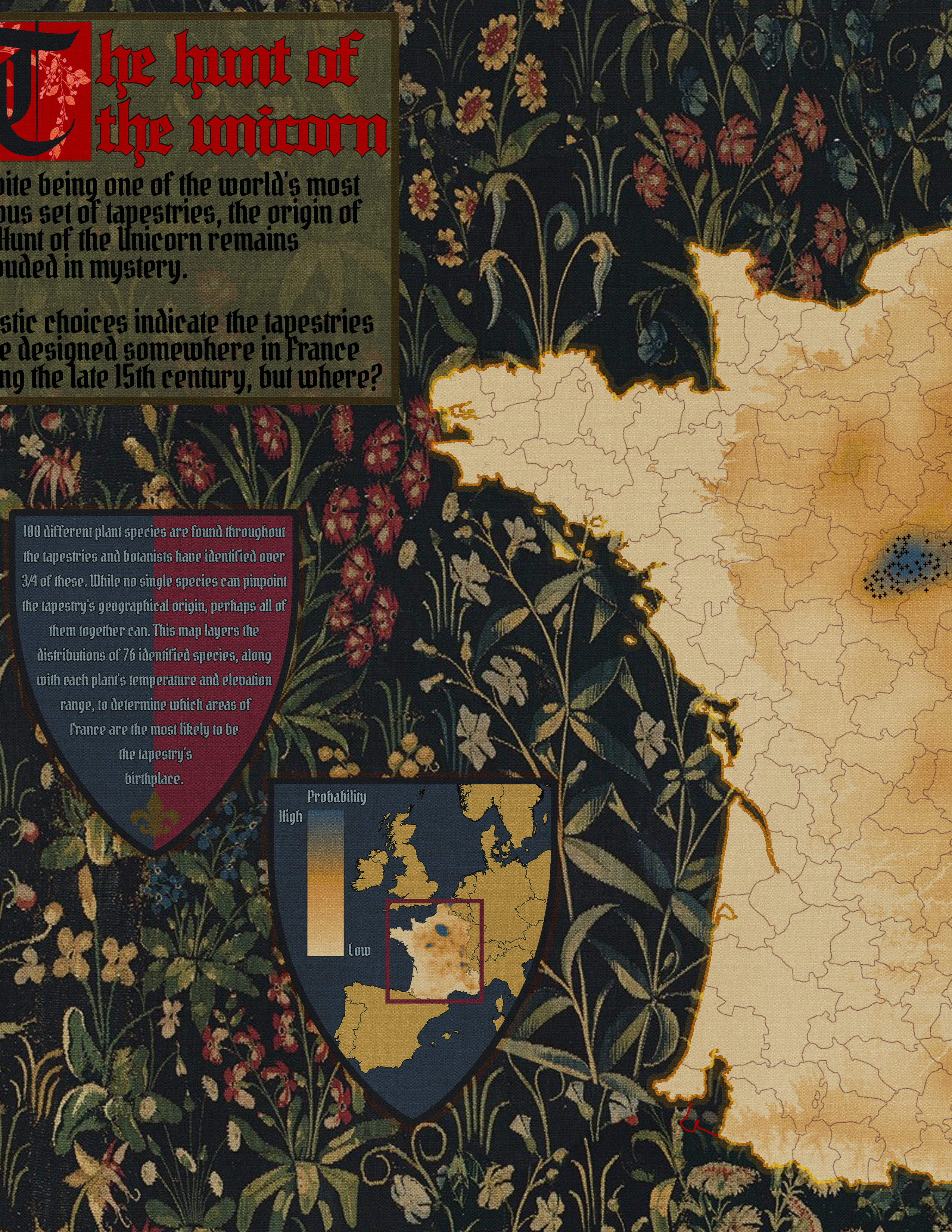
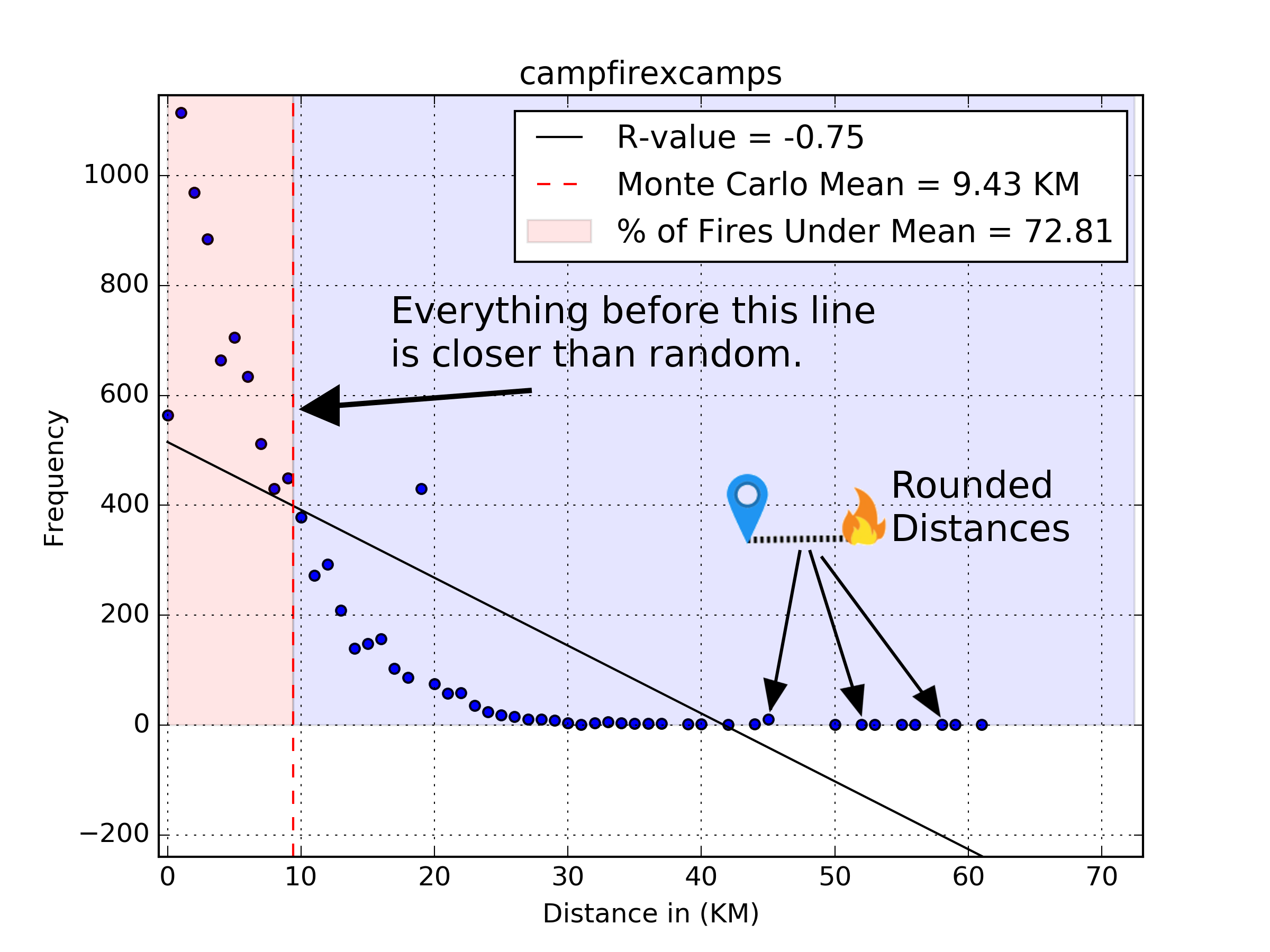
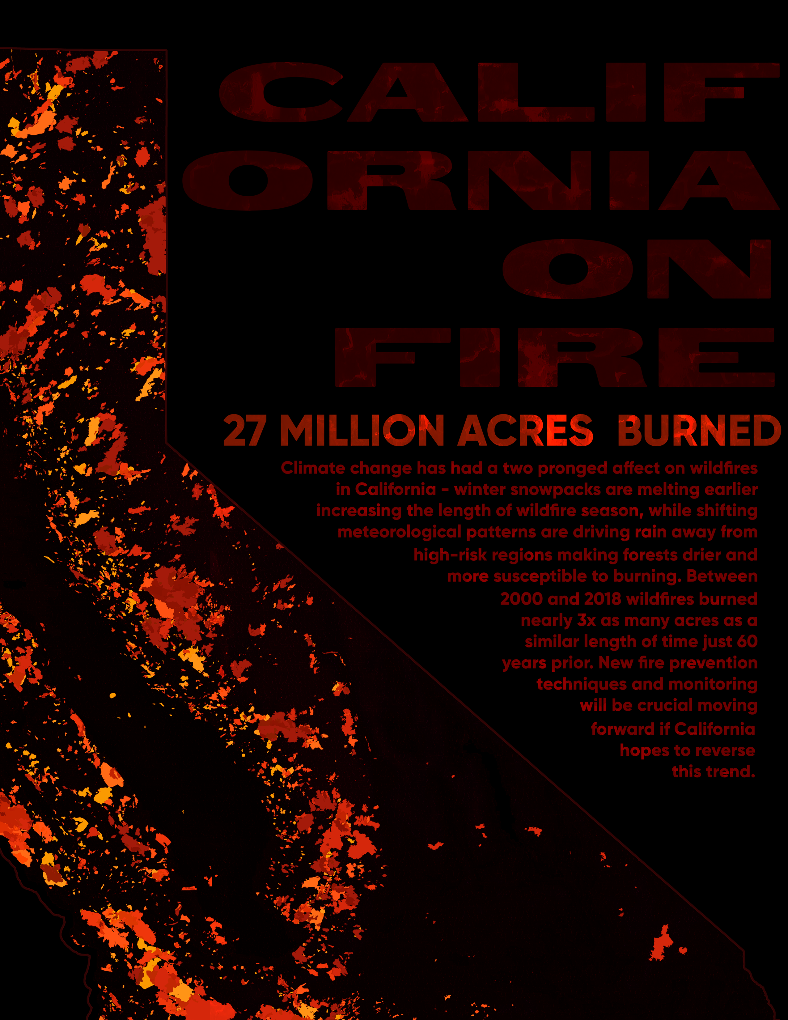
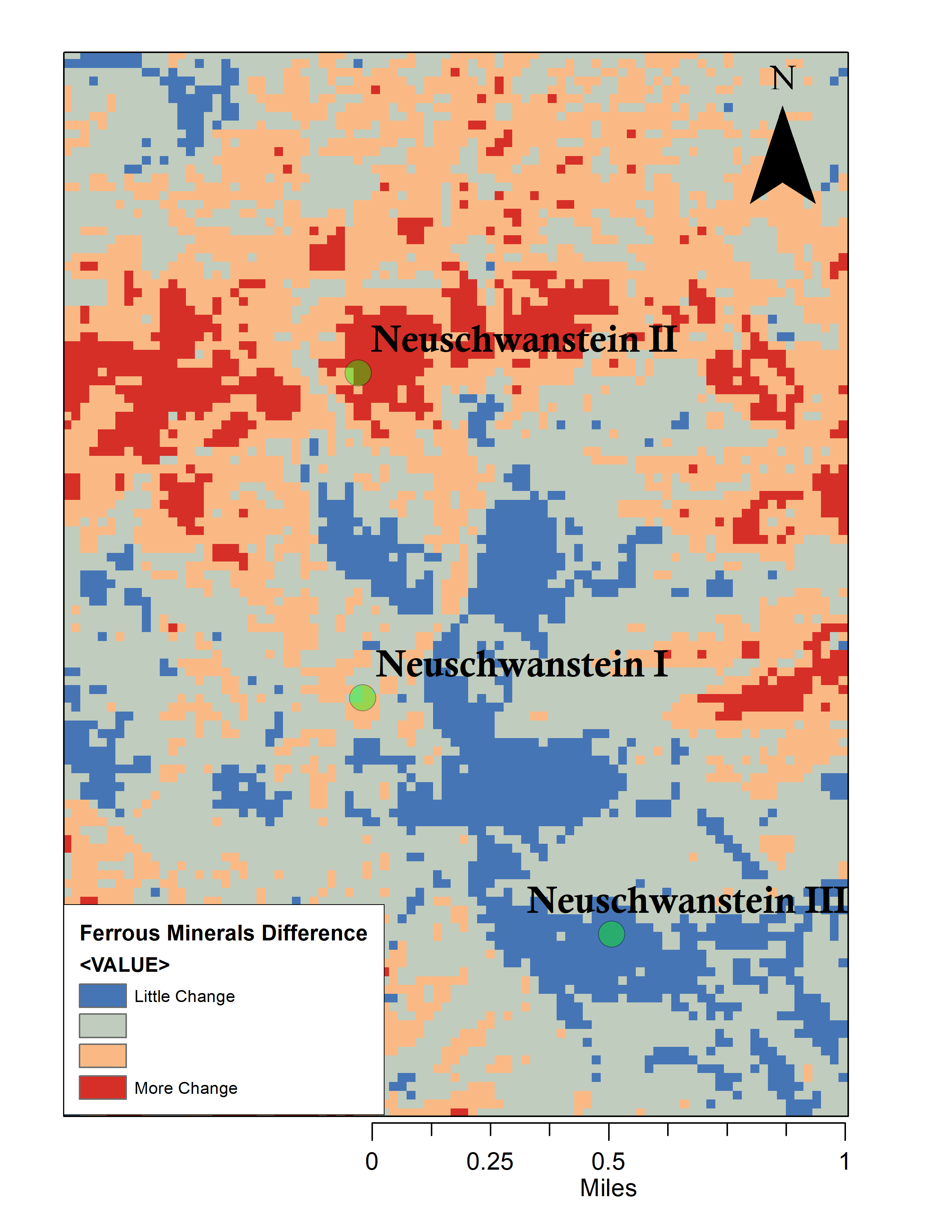
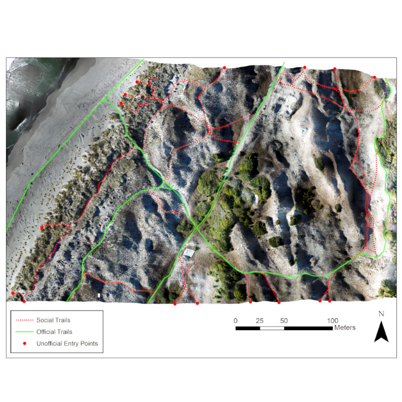
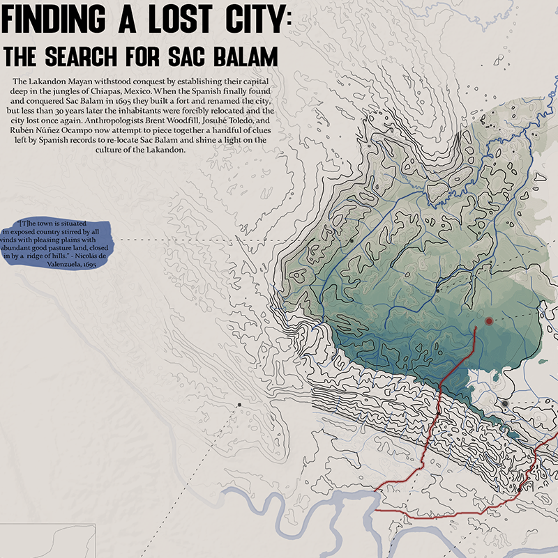
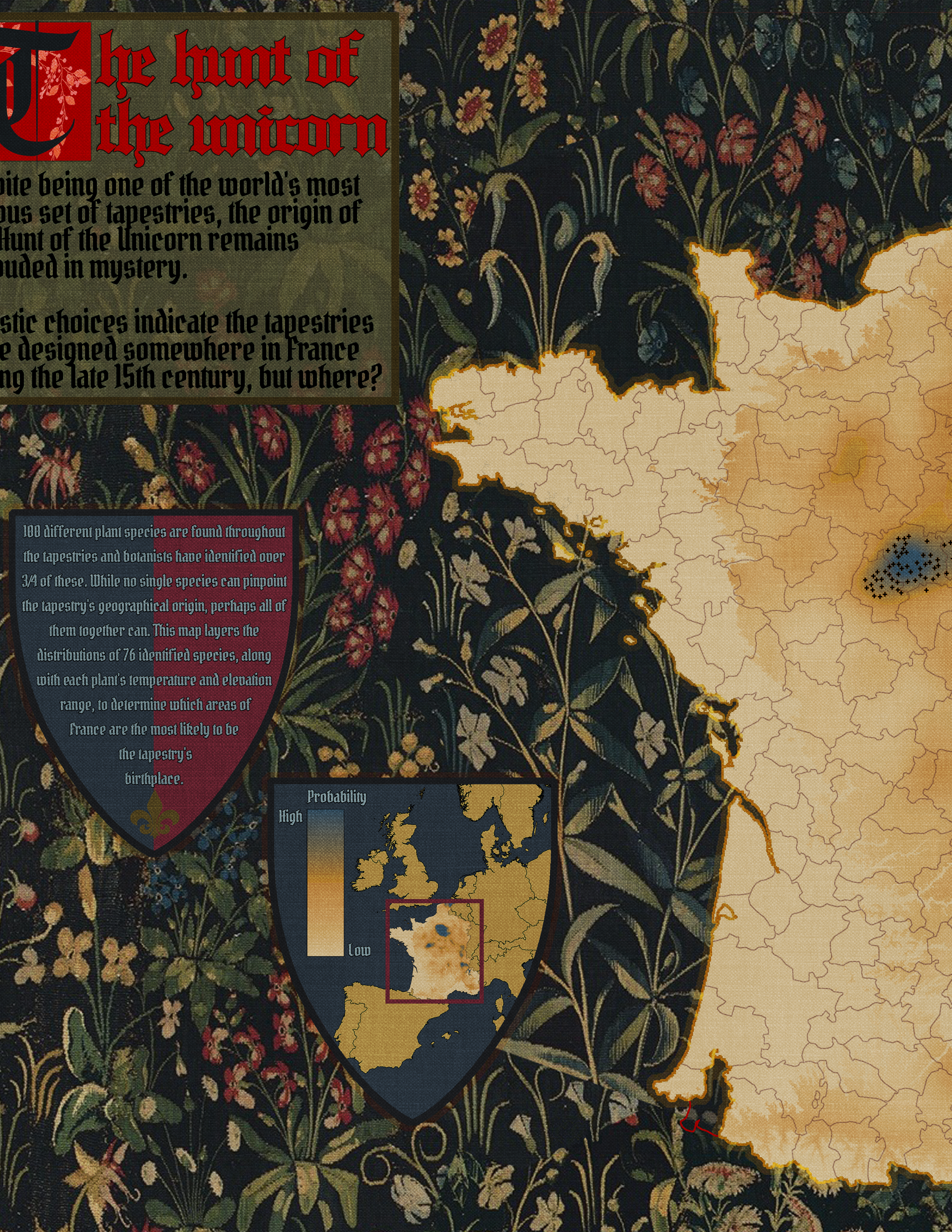
A selection of some of my most recent projects.

Resume

Some of my credentials.

Geographic information systems analyst and programmer focused on discovering innovative yet detail oriented solutions.

Work Experience

Make Ready Engineer II

June 2022 - present

Tilson

Manage, engineer, and track telcoms projects.

GIS Team Lead

Novemener 2021 - June 2022

Apple via RMSI

Manage, analyze, and pilot new content for consumer applications.

Map Technician and Analyst

October 2020 - October 2021

Apple via Apex

Analyze, validate and enhance data content and assemble new content for consumer applications.

Instructional Student Assistant

Feburary - May 2020

Humboldt State University

Remotely tutored students in programming and GIS. Collaborated with teachers and students to answer questions and provided individually tailored guidance when stuck.

GIS Intern

August - December 2018

Humboldt County Planning Department

Analyzed historical parcel maps and identified changes over time. Worked with and updated large geospatial database. Used aerial imagery for building identification to aid firefighters.

Education

Bachelor's Degree

Class of 2020

Humboldt State University

Environmental Science & Management degree with a Geospatial Science focus.

Contact

I'd Love To Hear From You.

In this field we are frequently reminded of how big this world really is - contact me if you have questions, comments, want to get nerdy about mapping technology, or just want to make the world feel a little smaller.

Where to find me

Providence, RI
02904

Email Me At

jkennedy@humboldt.edu

Call Me At

Phone: (707) 616-6669